
Greenland and Antarctica have lost eleven trillion tonnes of ice
The polar ice sheets have lost enormous amounts of ice since the 1970s. An exceptionally long series of satellite measurements now reveals the main reason behind this: faster-moving glaciers.
Read Aloud
0:00
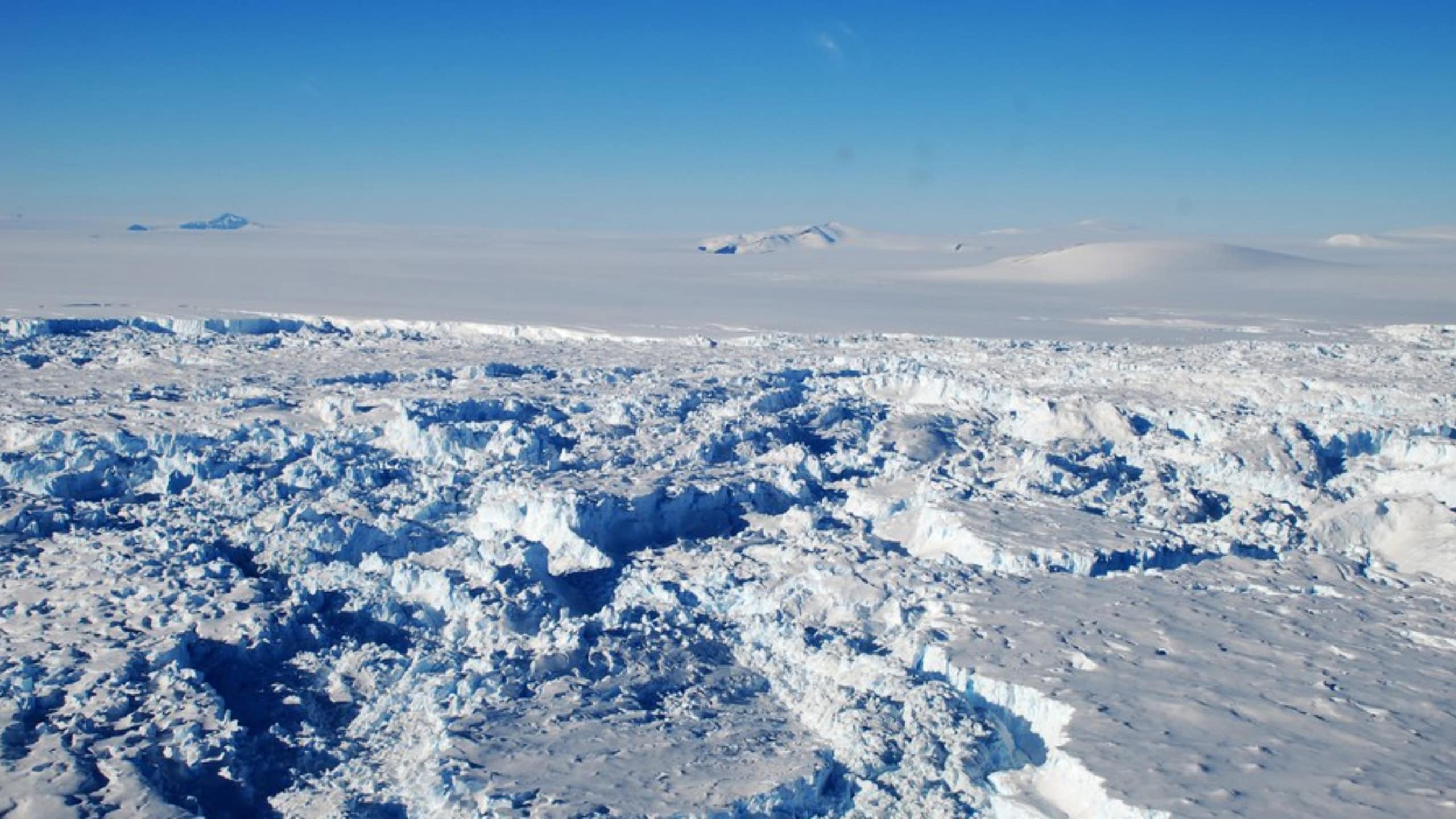
The ice sheets of Greenland and Antarctica have lost approximately 11 trillion tonnes of ice since the 1970s. Most of this loss is due to faster-flowing glaciers. © Mirko Scheinert/TUD
Thirty-one meters. That is how deep Germany would be submerged if the 11 trillion tonnes of ice that Greenland and Antarctica have lost since the 1970s were distributed evenly across the country as meltwater. This is shown by the longest satellite measurement series to date on the two ice sheets. Four scientists from TU Dresden were involved in the analysis.
The loss of ice caused global sea levels to rise by 3.1 centimeters between 1979 and 2023. Greenland accounted for 1.8 centimeters of this, and Antarctica for 1.3 centimeters. The two ice sheets – the massive sheets of ice on land – currently account for about a quarter of the global rise in sea level.
Glaciers are flowing faster into the ocean
Only 16 percent of the total ice loss was due to surface melting. 84 percent resulted from glaciers flowing faster and transporting more ice into the ocean. “More than four-fifths of the lost ice was transported into the ocean by faster-flowing glaciers, rather than melting at the surface,” says study lead author Inès Otosaka of Northumbria University in the United Kingdom.
The rate has increased sharply since the 1990s. Greenland lost about 60 billion metric tons of ice per year in the 1980s, rising to 264 billion metric tons in the 2010s. In Antarctica, the loss rose from 48 to 202 billion metric tons annually. According to the study, the net losses there are due to faster-flowing glaciers, which are responding, among other things, to warmer seawater.
Between 2020 and 2023, ice loss temporarily slowed. Record snowfall in East Antarctica offset some of the losses there. Milder summers in Greenland reduced surface melting. According to the researchers, this does not represent a reversal of the trend.
A half-century in perspective
It has long been known that Greenland and Antarctica are losing ice. What is new, above all, is the long-term perspective. For the study published in the journal “Scientific Data,” the international team compiled 42 independent satellite data analyses from 27 different missions. Researchers from a total of 37 institutions were involved. For Greenland, some data date back to 1972; for Antarctica, to 1979.
Four scientists from TU Dresden contributed analyses.
Two types of measurements were used. Some satellites determine the height of the ice surface, while others measure changes in Earth’s gravitational pull. If a region loses large amounts of ice, Earth’s gravitational pull in that area also changes. This allows researchers to infer the amount of ice mass lost.
“The figures aggregated here are the result of a long evolution of measurement systems and analysis expertise. They provide a comprehensive picture not only of ice mass loss but also of the underlying processes,” says Martin Horwath, professor of geodetic Earth system research at TU Dresden. However, comparing the various methods also highlights where further research is needed, such as in East Antarctica.
The long-term data series should now help us better understand how the ice sheets are changing – and thus also more accurately estimate their future contribution to sea-level rise.
Original publication:
Otosaka, I.N., Shepherd, A., Amory, C., et al. Mass balance of the Greenland and Antarctic ice sheets from the 1970s to 2023. Sci Data 13, 1301 (2026).