
Zwickau’s trams count traffic
Cameras on Zwickau trams capture images of cars, trucks, and bicycles. Researchers have tested how this data can be used for traffic planning. In the future, buses could also be included.
Read Aloud
0:00
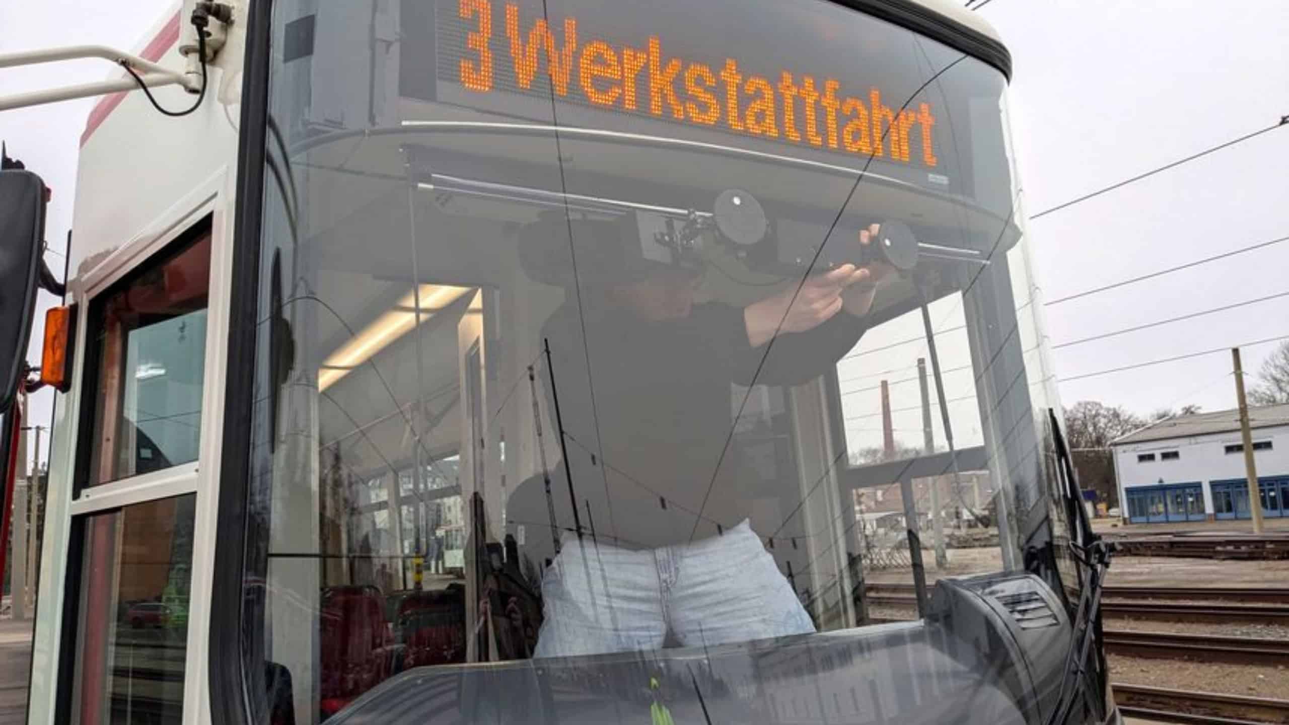
Cameras on Zwickau trams recorded traffic while the trams were in motion. Software then automatically analyzed the footage. © T. Höppner/WHZ
Trams transport people through Zwickau every day. As part of a research project, some of them were equipped with cameras. They recorded traffic. Software then identified cars, trucks, and bicycles. The data could help with traffic planning in the future.
The West Saxon University of Applied Sciences Zwickau (WHZ), in collaboration with the Zwickau Municipal Transportation Authority (SVZ), has completed the “EffiDat” project. Its full name is “Efficient Traffic Data Collection: Fusion of Stationary and Mobile Measurement Strategies.” The partners have now presented the results.
Trams collect traffic data
For the project, the researchers installed cameras in trams. Additional cameras were mounted at fixed locations in the Marienthal district of Zwickau. The city of Zwickau provided support, including assistance with installing the technology.
In April 2025, the cameras recorded traffic for two weeks. The footage from the moving trams then had to be merged with that from the fixed cameras. Specially developed software automatically analyzed the videos. It recognizes cars, trucks, and bicycles, assigns them a location, and transfers the information into a digital model.
Tested for two weeks
The result is a method that allows trams to collect traffic data while in operation. The researchers tested it in real-world tram operations. The data could supplement existing traffic models and regularly provide them with new information.This is of interest not only for traffic planning and management but also for smart city applications, in which cities use digital data to better organize their operations. In future projects, the researchers plan to expand the method to the entire city of Zwickau and also include buses.
The Federal Ministry of Transport funded “EffiDat” through the mFUND grant program. The project was designed as a feasibility study. Its purpose was to determine the additional benefits of traffic data from moving streetcars and how such data can be collected.