Wind turbines on your doorstep? This map shows where they could go
Where is there room for new wind turbines and solar farms? A free web tool from Leipzig evaluates potential sites throughout Germany. It takes into account nature conservation, technical requirements, and even potential revenue for local communities.
Read Aloud
0:00
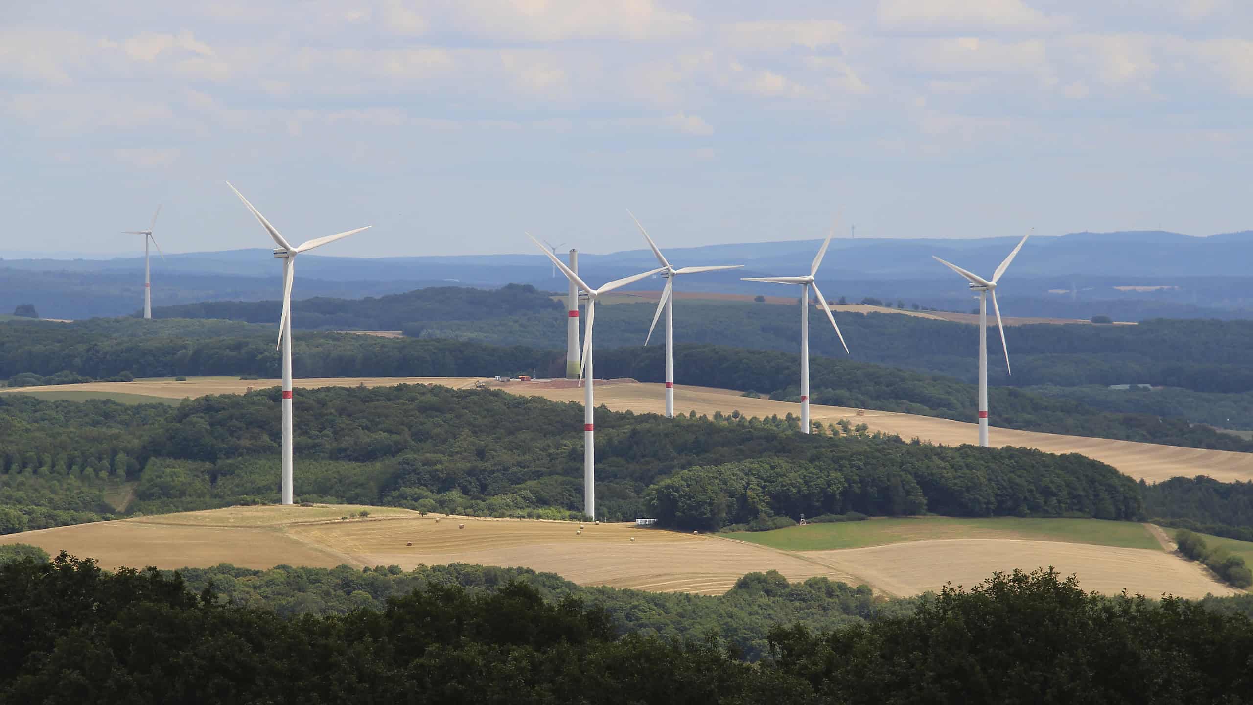
Where can new wind turbines be built? A free online tool from the UFZ in Leipzig shows which areas in Germany might be suitable for this purpose. © Dieter Staab/pixabay
A wind turbine on the outskirts of town or a solar farm in the field behind the village. Plans like these spark heated debates in many communities. A new research tool is designed to highlight the pros and cons of a particular site.
The Helmholtz Center for Environmental Research (UFZ) in Leipzig has now launched the EE Site Finder online. EE stands for renewable energy. The free web application shows where in Germany sites are suitable for wind turbines and solar farms. The UFZ developed it in collaboration with the Research Institute for Sustainability (RIFS) in Potsdam.
Green, yellow, red or gray
Much of the data important for site selection is already available. However, it comes from various sources and is difficult to evaluate without specialized knowledge, explains project manager Nora Mittelstädt. The site finder consolidates this information. On a map of Germany, it uses four colors to indicate how well-suited an area is from legal, technical, and ecological perspectives. Green indicates good conditions, yellow indicates moderate conditions, and red indicates limited conditions. Gray areas are ruled out based on the criteria considered.
For wind turbines, the program evaluates 54 criteria, including protected areas, settlements, and roads. It also takes into account potential collision risks for breeding birds such as the red kite, eagle owl, or white-tailed eagle. For solar farms in open fields, there are 42 criteria. These include how productive the soil is for agriculture.
Electricity and revenue for the municipality
Users can place a wind turbine or a solar farm on the map with a single click. The program then estimates how much electricity the facility would generate annually. It also shows the potential financial benefits the facility could bring to the host community or surrounding municipalities.
However, a green area does not automatically mean that construction is permitted there. The site finder does not replace concrete planning or the permitting process. Rather, it is intended to provide a transparent basis for local discussion and planning, explains Mittelstädt.
The tool is aimed at municipalities and planners, but also at interested citizens. “The energy transition is also decided at the local level,” says David Manske, who helped develop the application. The tool makes it possible to identify early on where conditions are favorable and where potential conflicts may arise.
Researchers at RIFS are now investigating how the site finder performs in practice. They want to know whether it makes conflicts visible earlier – and whether people are then more likely to accept subsequent decisions. The project was funded by the Federal Ministry for Economic Affairs and Energy.